According to the U.S. Census Bureau, the county has a total area of 284 square miles (740 km2), of which 254 square miles (660 km2) is land and 30 square miles (78 km2) (10.5%) is water.[5]
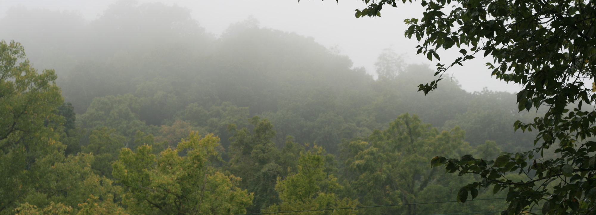
Calhoun County is a narrow 37-mile (60 km)-long peninsula of mostly high, rolling ground located between the Mississippi River and the Illinois River. The rolling hills escaped the leveling of glaciers.
County transportation is served by two state-operated, free ferries crossing the Illinois River (the Brussels Ferry in the south and the Kampsville ferry in the north). The Golden Eagle ferry, which is privately operated and charges a toll, crosses the Mississippi River to St. Charles County, Missouri. A bridge spans the Illinois River at Hardin. Land routes connect to the north to bordering Pike County.
When transportation was mainly by river, the county had many prosperous farms and orchards. It still produces a major portion of the peach crop of Illinois, and farmers raise corn and other commodities. The hotel in Brussels dates from 1847, when it was a stagecoach stop.
The county is popular with tourists due to the natural beauty of the Illinois River valley and its proximity to the Great River Road on the Illinois side. It includes part of the Two Rivers National Wildlife Refuge and attracts thousands of birds in migration seasons as part of the Mississippi Flyway. The county has several designated historic districts in the villages and properties listed on the National Register of Historic Places.
Calhoun County was added to the St. Louis Metropolitan Statistical Area in 2003, along with Bond and Macoupin counties in Illinois, and Washington County, Missouri.
The Center for American Archeology is located in Kampsville in the northern part of the county. It has been the center for study of prehistoric indigenous culture in the area. It has created educational opportunities for children and adults to participate in its archaeological digs.